


.
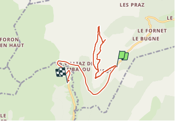
© OpenStreetMap contributors


1h46
Difficulty : Difficult


Length
8.7 km
Max alt
1672 m
Uphill gradient
277 m
Km-Effort
12.9 km
Min alt
1269 m
Downhill gradient
440 m
Boucle
No
Creation date :
2023-08-22 08:19:37.0
Updated on :
2023-08-22 11:37:09.375
1h46
Difficulty : Difficult
FREE GPS app for hiking
 SityTrail
IGN / Geographical institutes
SityTrail Plus
The world is yours!
About
Trail Walking of 8.7 km to be discovered at Auvergne-Rhône-Alpes, Upper Savoy, La Côte-d'Arbroz. This trail is proposed by 000151.528cee2ba5ea499bb7720e62b4a3eb52.0056.
Description
.
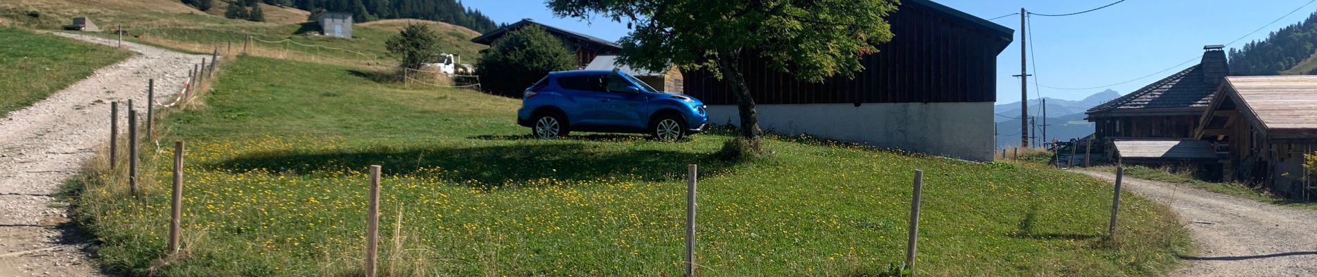
Photos


Positioning
Country:
France
Region :
Auvergne-Rhône-Alpes
Department/Province :
Upper Savoy
Municipality :
La Côte-d'Arbroz
Location:
Unknown
Start:(Dec)
Start:(UTM)
317361 ; 5115952 (32T) N.
Comments